| Date: | Nov 21 – 23, 2022 |
| Campsite: | 43 |
| Amenities: | 30 amp, water |
| What we learned | Download All Trails maps prior to heading out on a trail walk |
| Would we go back? | Yes |
| Park website: | Dr Julian G Bruce St George Island State Park |
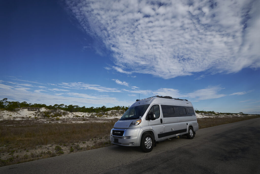
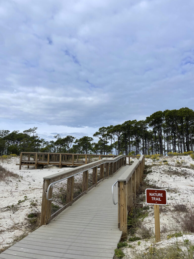
The drive to the park was easy. We are on the Forgotten Coast of Florida, which is not as developed as other areas of the state. This area is quiet, laid back, and not as crowded as what we are used to. This is the coastline of Florida from Mexico Beach on the Gulf of Mexico to St. Marks on Alpachee Bay. As you drive over the bridge to get to St George Island the houses are numerous and go all the way to the State Park border. If the state park was not there I am sure the houses would go all the way to the end of the island. Thank goodness for our state park system.
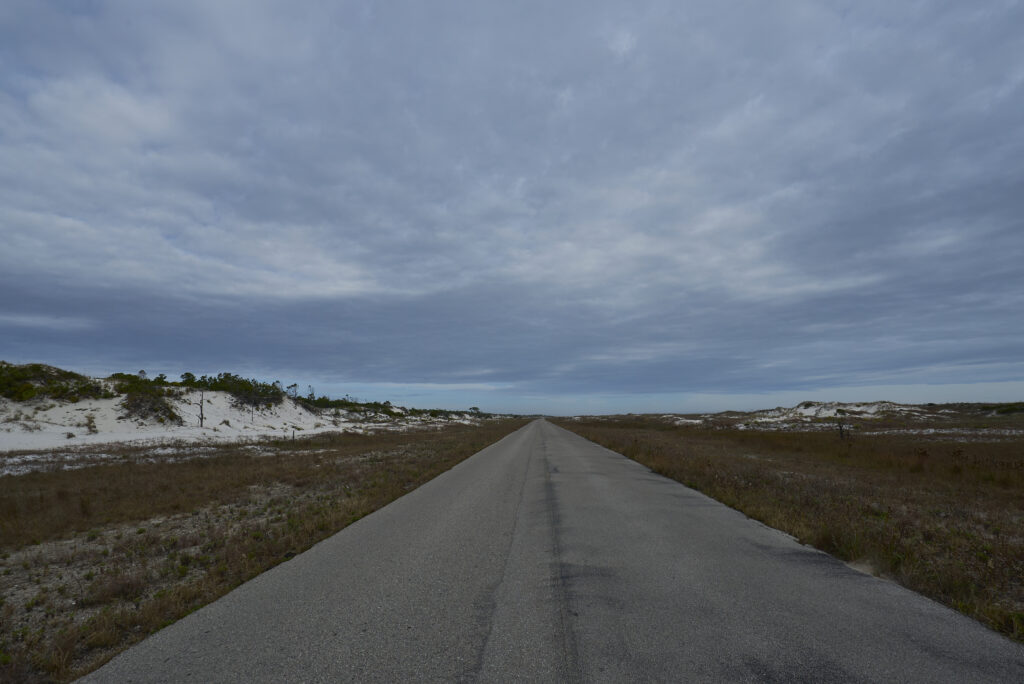
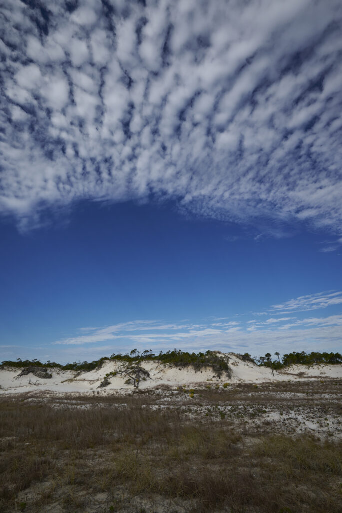
The campsite is 4 miles into the park and as you drive down the 2-lane road there are dunes on each side of the road. Our campsite was roomy and we did not have any neighbors on either side the first night. Birds were flying all through the campsite like crazy. The campground and bathrooms were clean but the hot water did not last very long for the shower. The wind and the cool weather kept the bugs at bay.
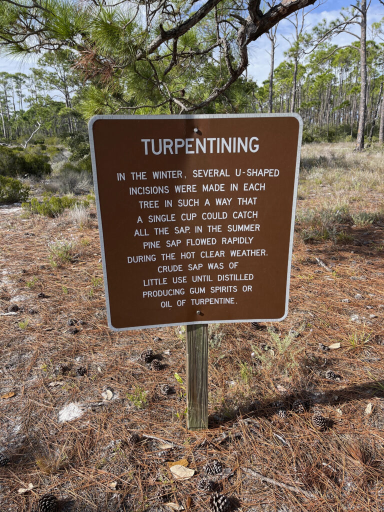
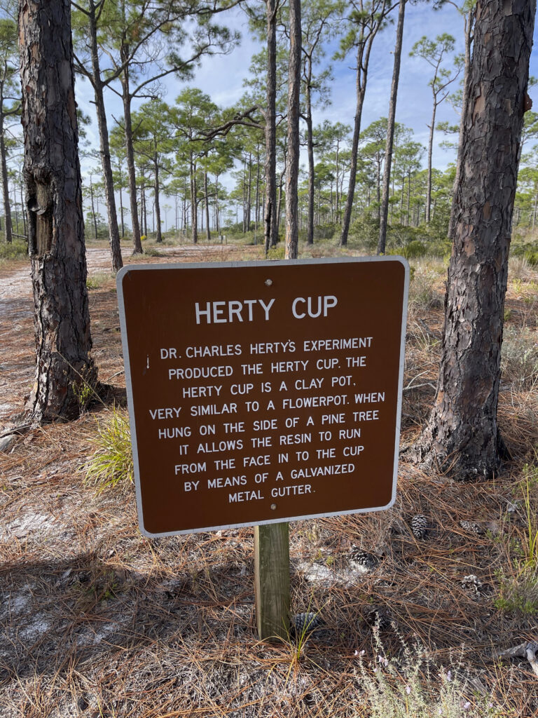
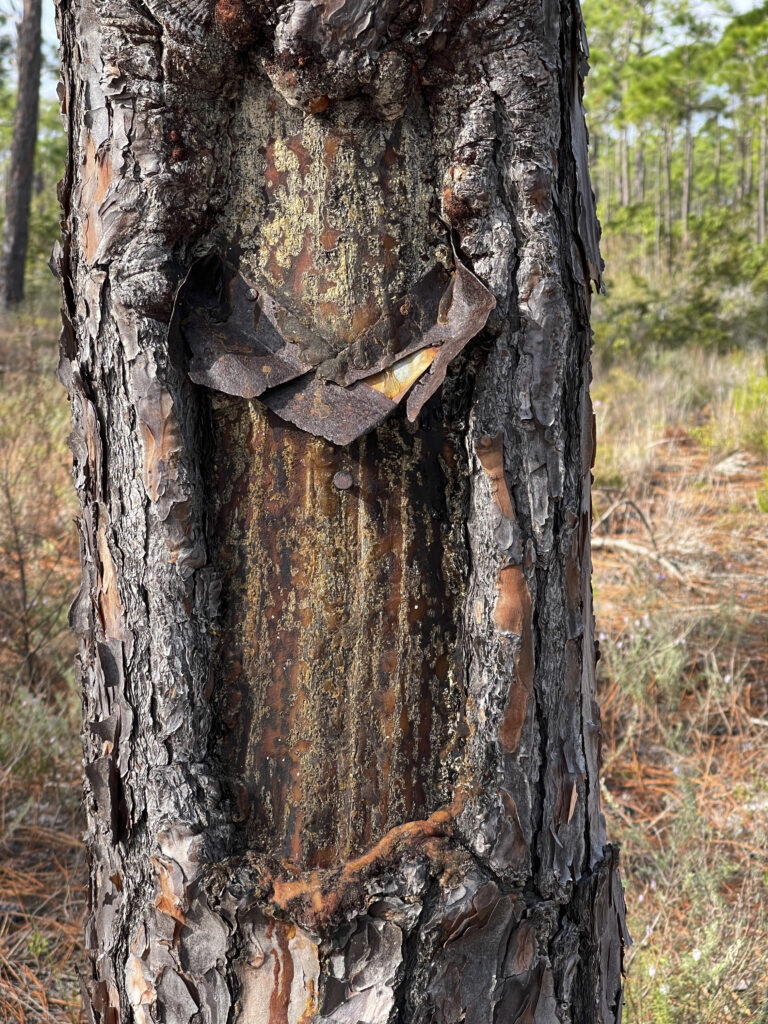
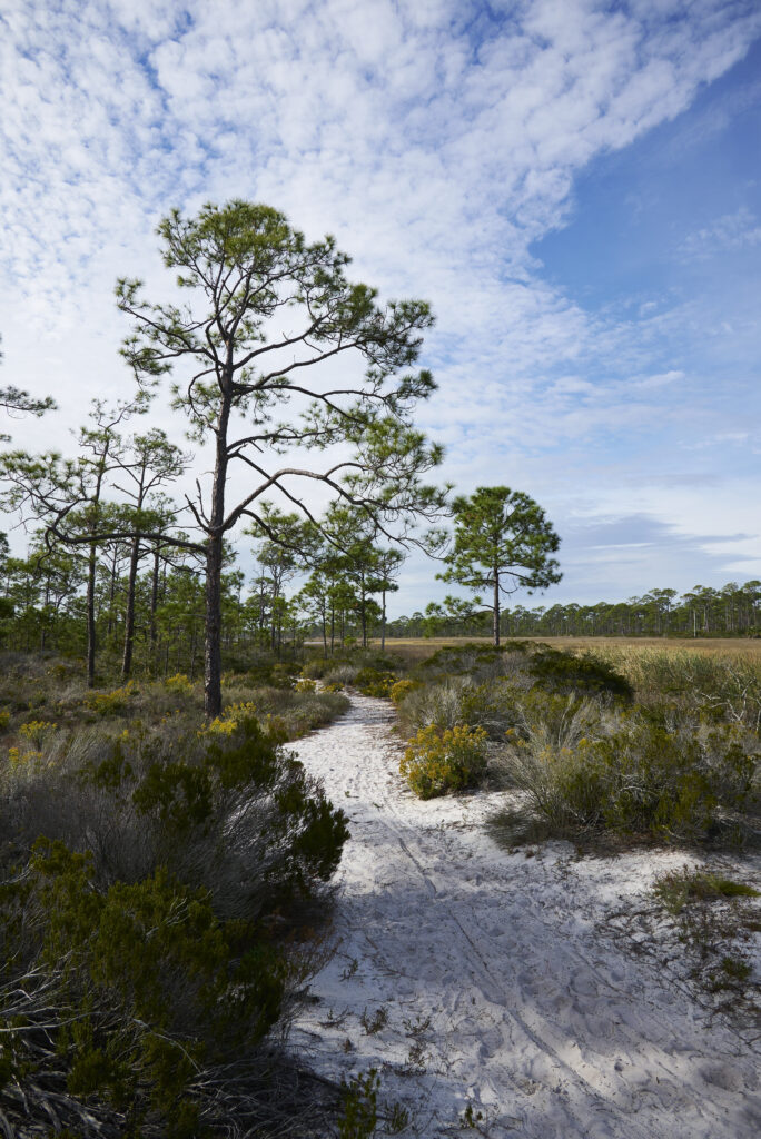
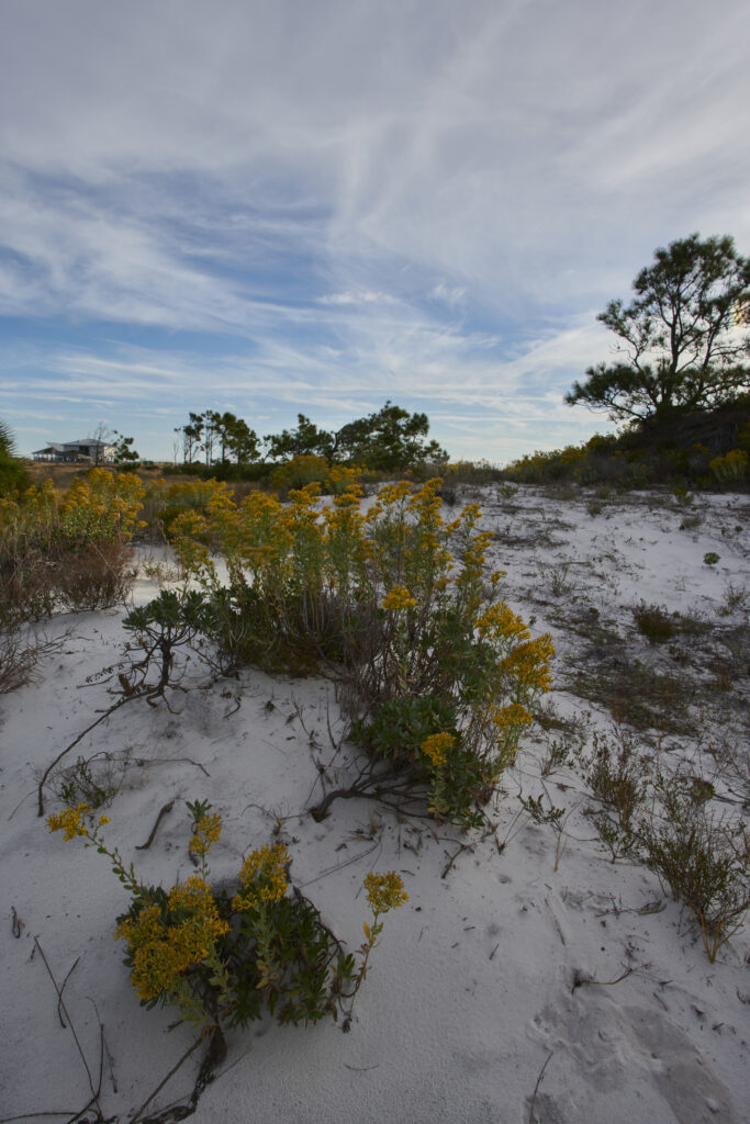
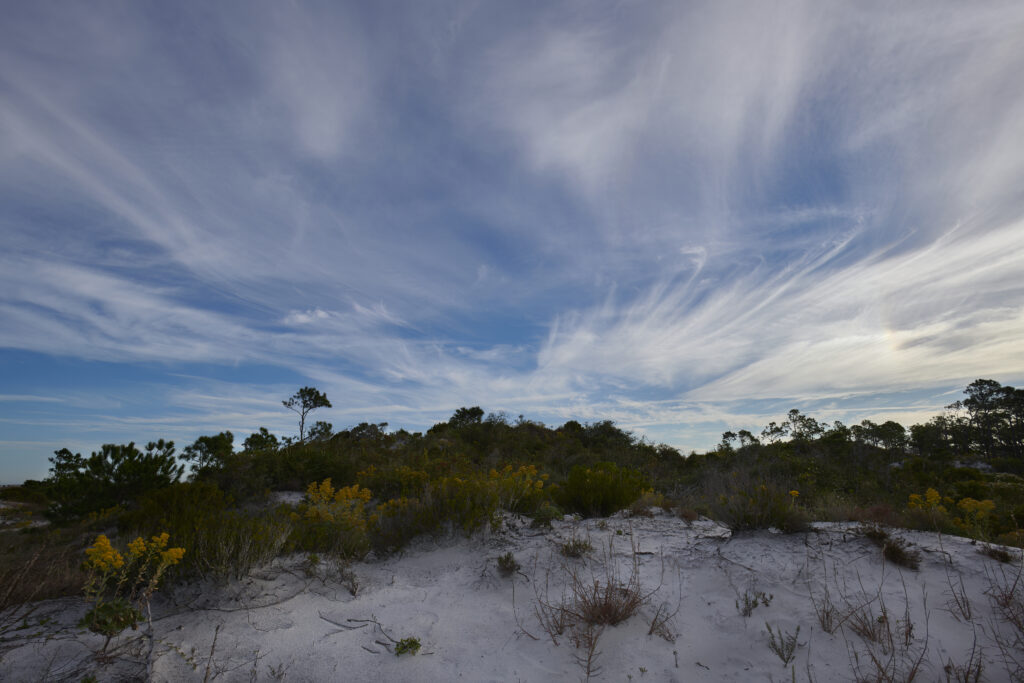
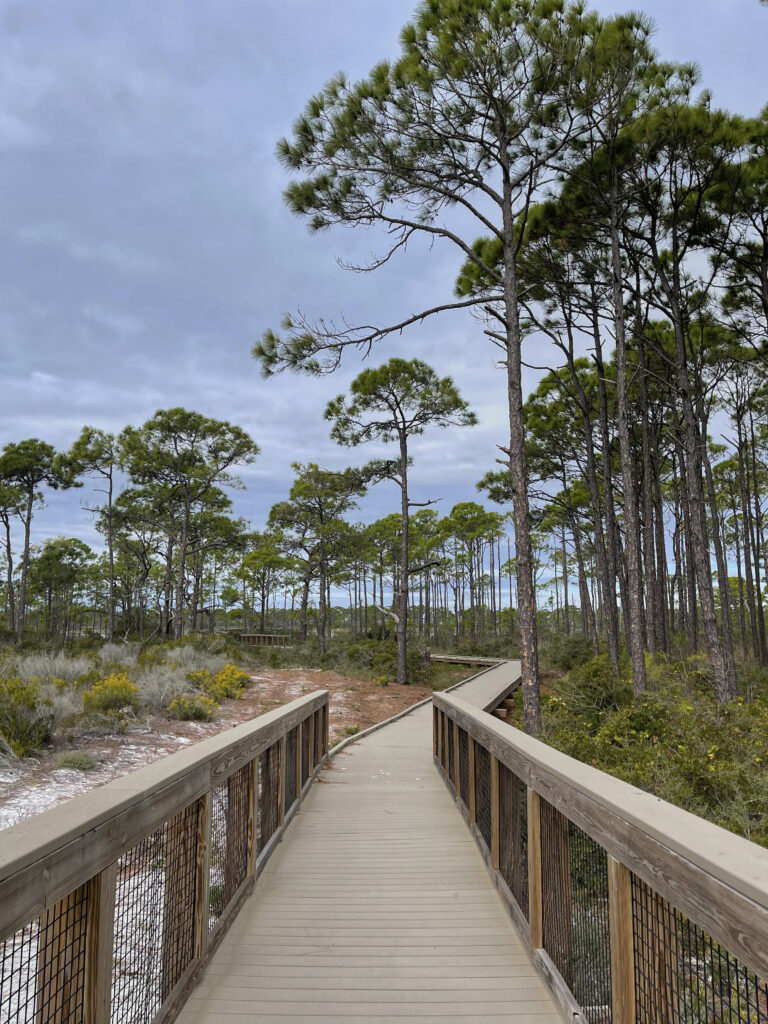
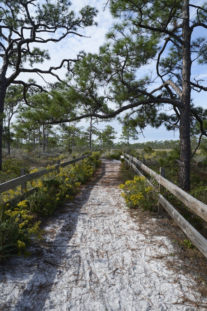
We hiked the nature trail/fitness trail as they have various workout stations every so often. There was a sign that explained how turpentine is harvested from pine trees. The bark was opened up and a steel v-shaped shim was inserted into the tree, which allowed the sap to flow out of the tree onto the v-shaped metal then a bucket was below and the turpentine went into the bucket. As you walk these trails and others in the state you can still see the shims in the trees or just the bark open. I always wondered why the pine trees had a split in them, now I know. Who said you cannot learn anything on a camping trip? The nature path connects to the East Slough Trail which you can get to from the main park road. The trail winds through the dunes and the slough. This is why you need to download the All Trails map prior to going on a hike as we were not sure where we were and how long the trail was.
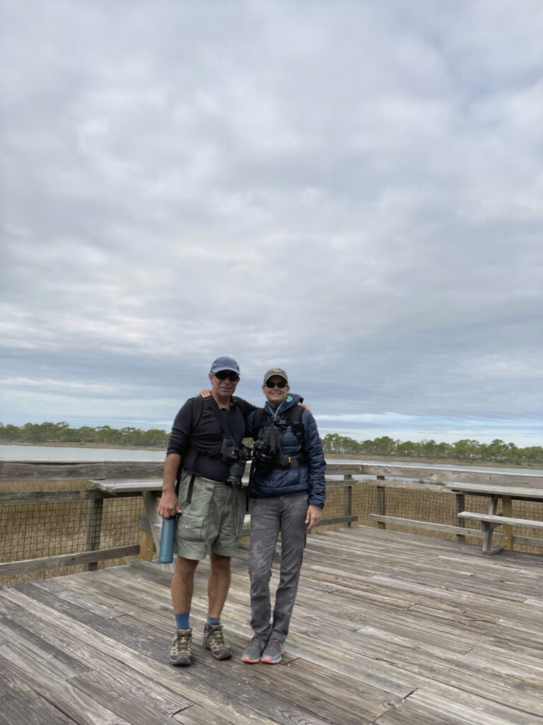
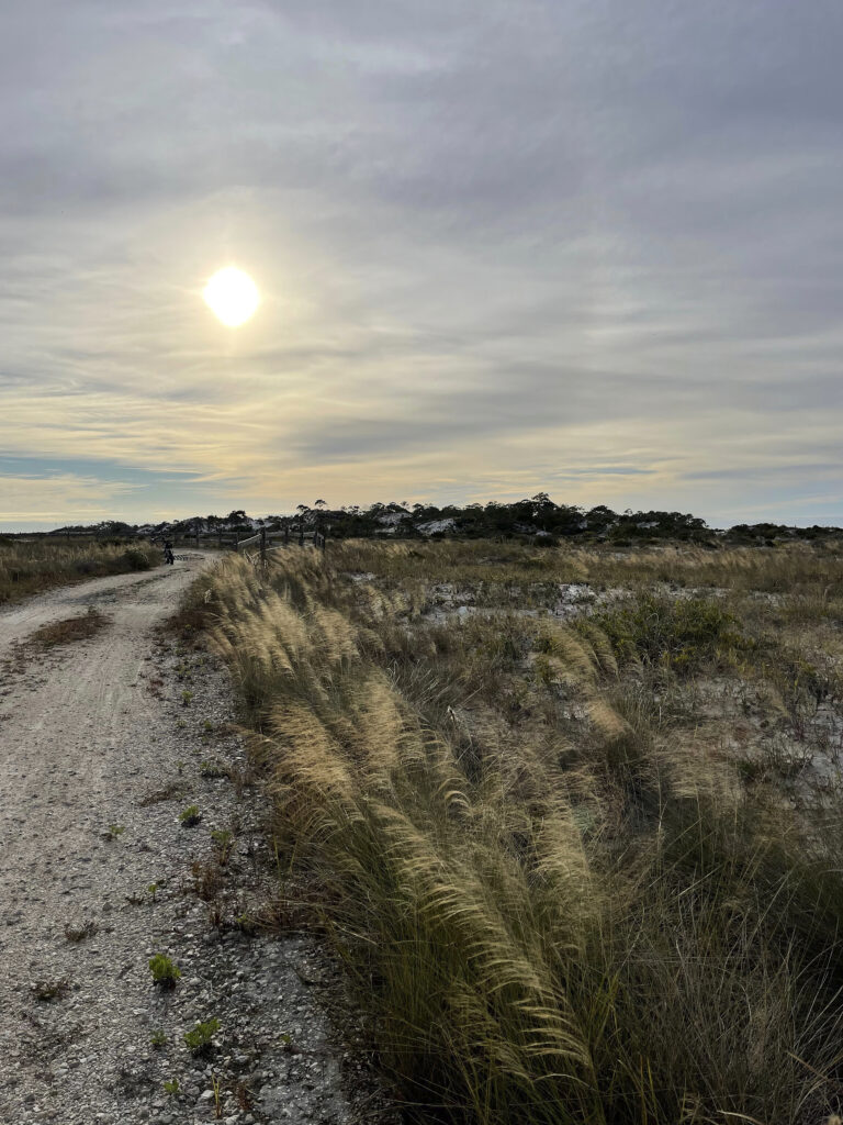
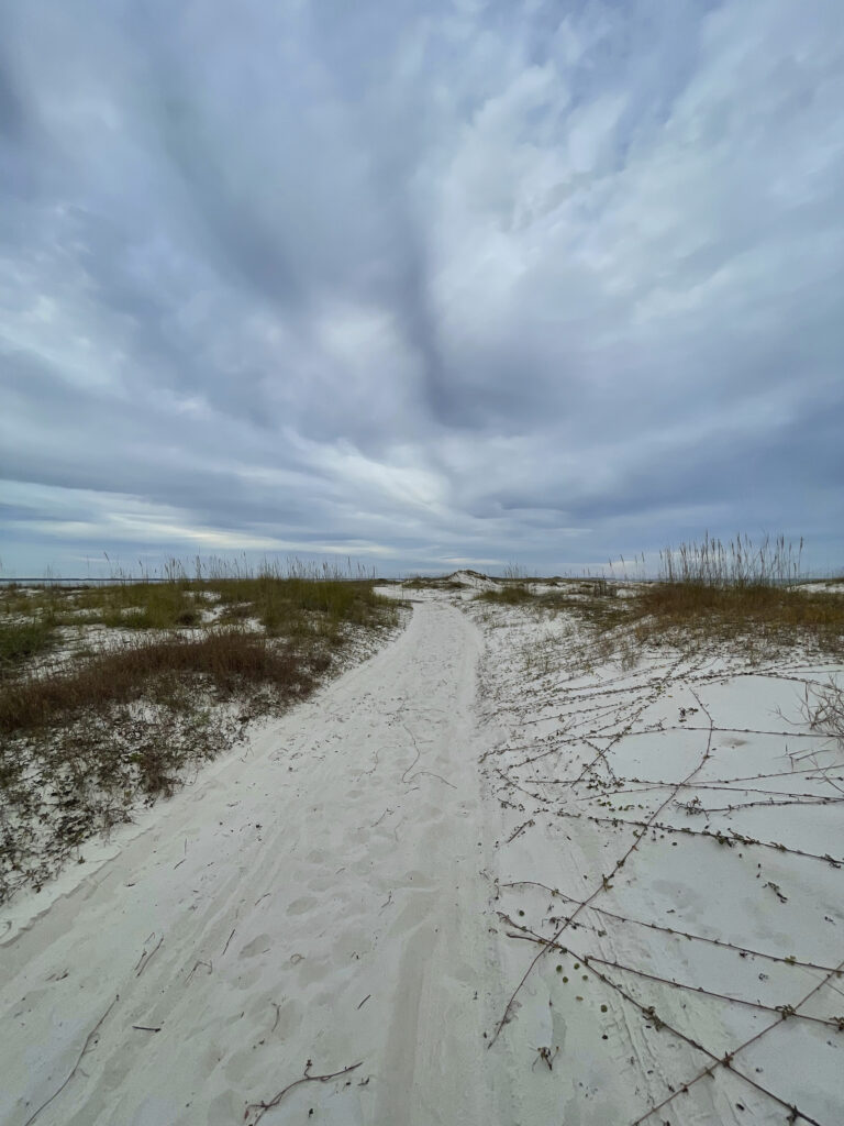
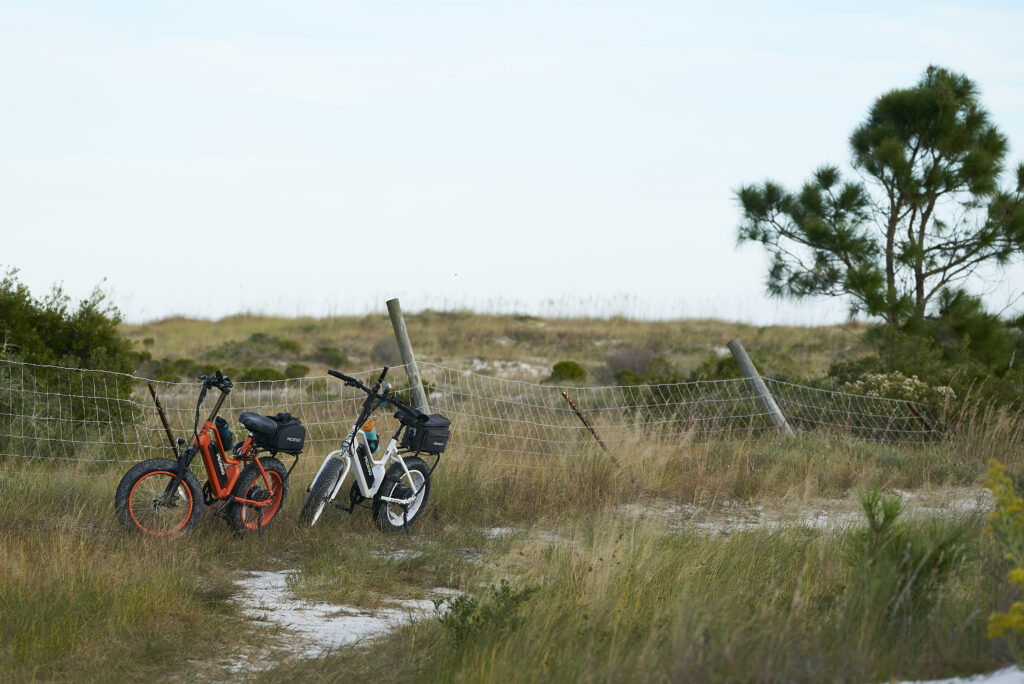
About a 1/2 mile after you turn into the campground the main park road has a gate and you can no longer drive to the end of the island. No worries as we have our bikes so we rode past the gate and onto the trail. There is grating in the road but the dunes are taking back the road so at times the sand gets deep and we had to get off and walk our bikes. About 2 miles further down the road the old road appears but here as well the sand dunes are going over the road. We never did make it to the end of the island but the dunes and views of the bay on the north and the Gulf of Mexico on the south side of the road were beautiful. I watched 2 different pods of dolphins in the bay. One pod looked to be out feeding and the other was just playing around, spy hopping and tail slapping.
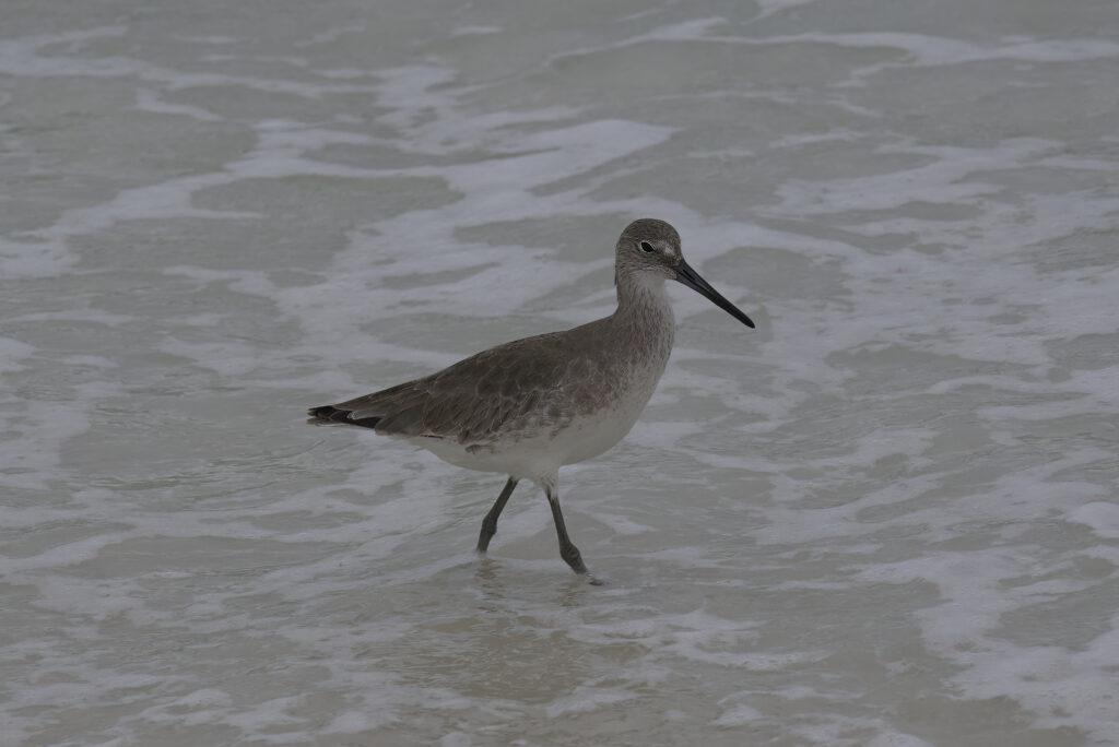
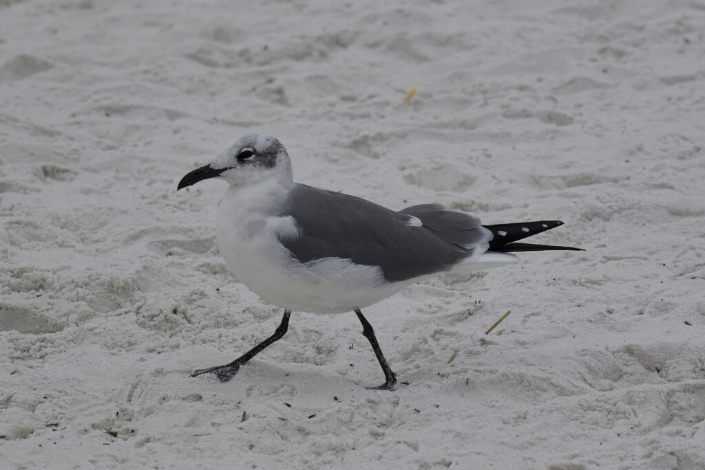
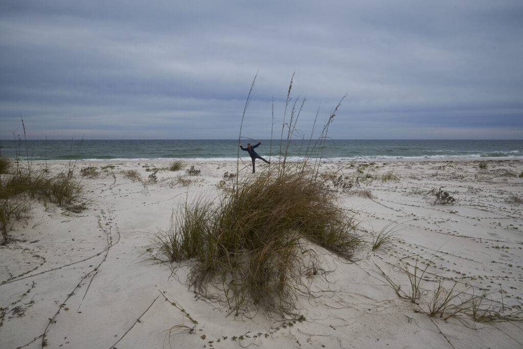
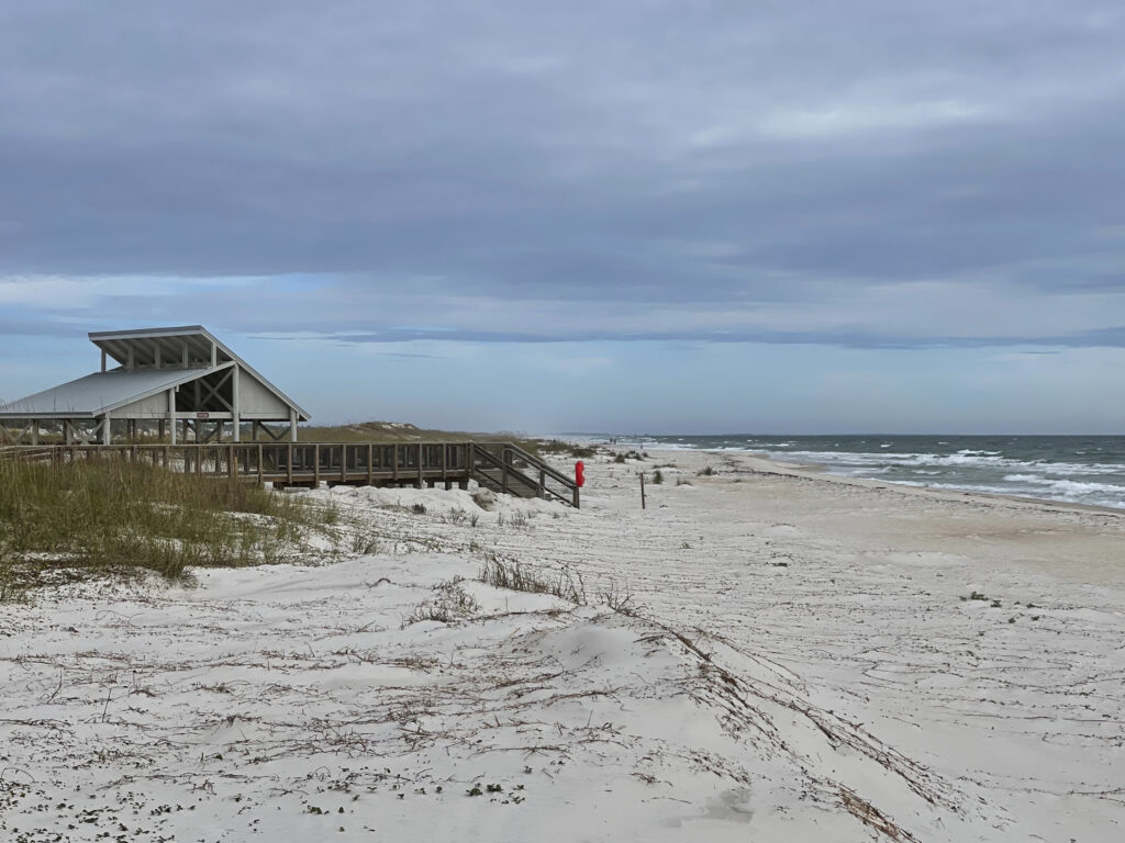
The beaches were clean and as it was cold and windy not many people were out walking or in the water. We sat down on a log to watch the water and a sanderling came up to us. I guess someone must have been feeding it.
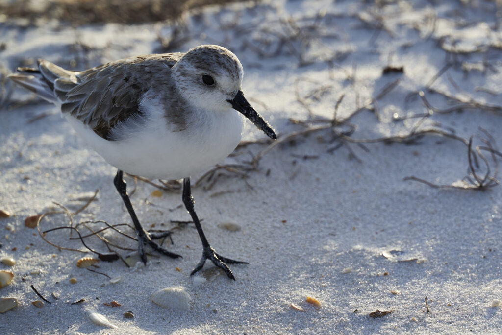
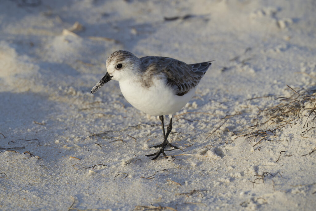
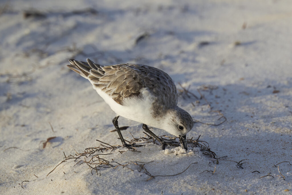
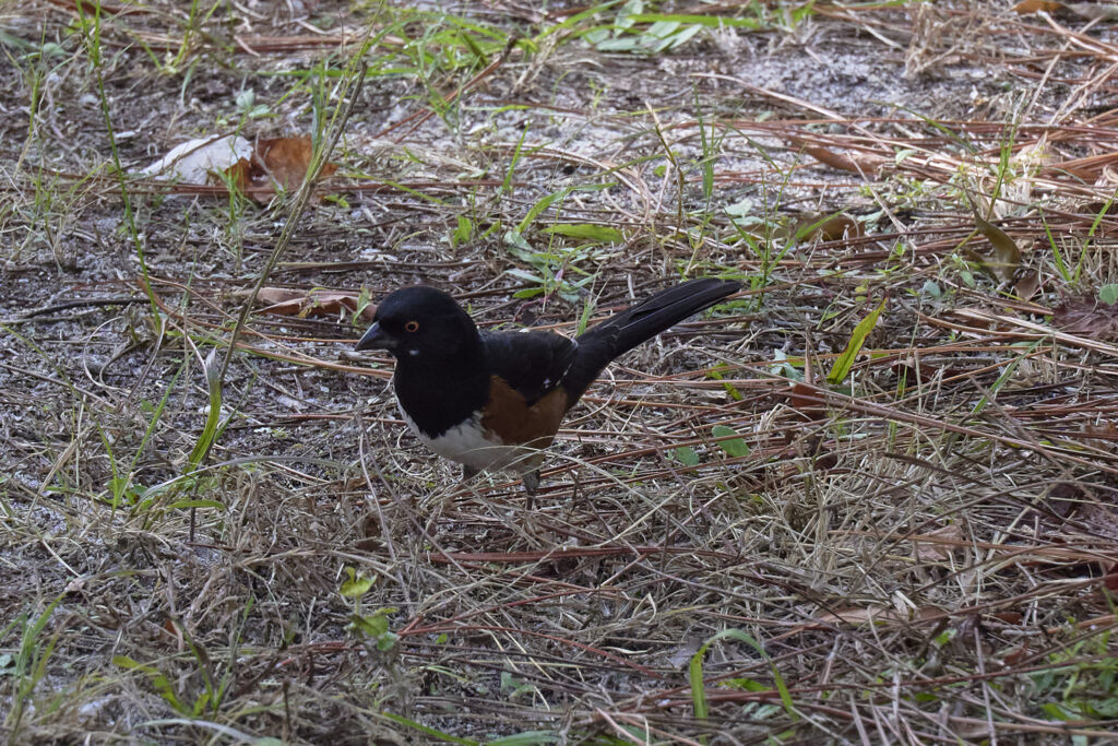
Wildlife sightings: 2 Bald Eagles, Great Blue Heron, Short-tailed Hawk, Brown Pelicans, catbirds, cardinals, swallows, Carolina wrens, American Redstart, sanderling, butterflies, and about 10 dolphins.
NOTE: All photos and videos are the property of Wayne and Margaret Shoemake. If you want to use them, please click on the contact us page and email us.